
Software & services — EU
Skyplanr turns a sentence into a drone flight plan, with 106 automated checks
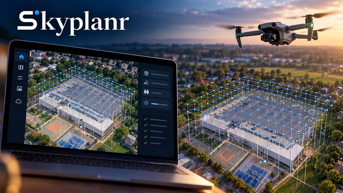
One sentence is enough to obtain a complete flight plan
Skyplanr, developed by Norwegian remote pilot and developer Sander Helgesen, turns a plain-language instruction into a drone flight plan, with waypoints, altitudes, camera angles, speeds and camera settings. The user chooses a point on the map, selects the aircraft they intend to fly, then describes the task. Writing “Inspect this building” or “Create a 3D model of this building” starts the generation. Predefined mission types also exist: real estate photography, inspection, mapping.
An AI agent translates the request and incorporates several site parameters: terrain elevation, building height, tree height, airspace restrictions, sun position. Weather is also included in the calculation.
On a 3D mapping mission of a sports hall, the proposed plan combined a grid of vertical shots and a second oblique-angle grid. The plan consisted of 358 photographs in total, divided across several battery flights. The software had calculated the altitude needed to target a ground resolution of about 2 cm per pixel. In another test, it suggested an alternative take-off point, with trees a few metres from the initially chosen location. The delivered plan explains these trade-offs: take-off point, altitude, camera settings.
A separate layer then validates the route. According to the developer, each mission is subject to 106 automated checks covering obstacle clearance, altitude, distance from the take-off point, battery capacity and automatic return altitude. Weather, airspace restrictions and risks to people on the ground are included in the verification. The path is checked every two metres, not only at waypoints.
Automated validation does not transfer responsibility
The two-stage split is explicit: the AI agent builds the plan, a separate system checks it against predefined criteria. The software therefore does not decide on its own that a mission is safe. The remote pilot remains responsible for reviewing the plan, checking current conditions and ensuring the operation complies with applicable regulations. No published information describes how the tool interfaces with SORA preparation, nor how generated plans are archived or traced.
The reliability of the 106 checks rests on a statement by the developer. The available usage report concerns a mapping trial carried out by a specialist journalist with a DJI Mini 5 Pro, where the mission was built in a few clicks. This material says nothing about the repeatability of the result on complex sites, nor about how the tool behaves when building height or airspace restriction data is incomplete.
A plan validated in advance also does not protect against last-minute changes: the presence of people on the ground, a change in wind or a temporarily prohibited area must be checked on site, before take-off.
Drones, exports and place in the processing chain
The user specifies the aircraft targeted by the plan. The documented trial uses a DJI Mini 5 Pro; the list of supported models is not published. The plan’s export formats, licence terms and pricing model are not documented in the tool’s presentation. Access is via a map on which the area is selected, with no desktop software required according to the published demonstration.
Skyplanr’s output stops at the flight mission. Processing the captured images is another stage. Reconstruct, for example, turns standard and 360 images or videos of a site into a measurable, explorable 3D model. Standard and 360 photos or videos are automatically converted there into floor plans, orthophotos, 3D point clouds and mesh models. The chain covers capture by drone, 360 camera and smartphone. Nothing in the public materials indicates that Skyplanr connects to this type of platform: moving from the flight plan to the 3D model remains a separate operation, to be organised by the operator.
Operations where the preparation gain is visible
The tool is aimed first at repetitive, well-defined operations: roof inspection, 3D survey of a building, mapping of a site. On these missions, manual entry of waypoints and individual setting of photo parameters account for most of the preparation time, and a plain-language instruction replaces this step.
Providers running several sites per week find here a way to reduce the time spent in front of a screen before each flight. The generation of a plan of 358 photos spread across several batteries illustrates the type of setup where manual calculation quickly becomes tedious.
Low-volume operations, or those far removed from standardised missions, gain less: checking the generated plan, reading the explanations provided and regulatory verification remain, regardless of the number of annual missions. On a dense urban site, where risk analysis and authorisations weigh more heavily than waypoint plotting, automation shifts the work without eliminating it.
← Back to home · Search · Suggest a topic · Lire en français / Read in French